
All along the departmental road 117 Moûtiers – Val Thorens, kilometer markers indicate to cyclists the altitude, the number of kilometers remaining to the stations and the percentage of elevation change to come.
As a bonus
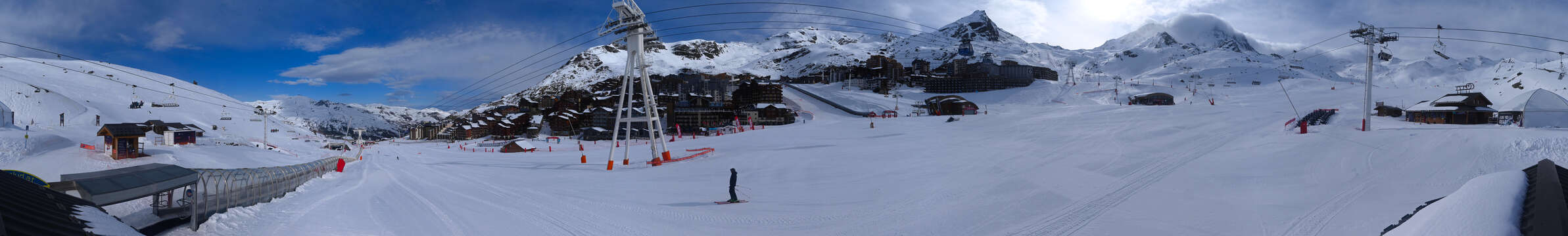
Once arrived at Val Thorens, you will be able to complete the last kilometer of the Etape du Tour de France 2019. The route is indicated in the station.
New this summer: a cycle path going from Val Thorens to the Col de Tougnète
This new cycle path is accessible both to families on electric bikes and to accomplished cyclists.
It is exclusively dedicated to bicycles and remains away from pedestrian paths.
Snaking the ridges, cyclists are alone in the world, facing a breathtaking panorama.
Cycle path profile:
- Between Val Thorens and the Col de Tougnète: 14 km and 620 m of elevation gain
- Between the Col de Tougnète and Val Thorens : 14 km and 510 m of D+
- For a return trip to the Col de Tougnète from Val Thorens : 28 km and 1130 m of D+